About

She has her expertise in geospatial information science (GIS) and remote sensing (RS) in earth science issues. Her research to date has been on disaster management, artificial intelligence and its applications, and the production and processing of spatial data.

Since 2015, she has focused her studies on the use of GIS, RS, Photogrametery, and artificial intelligence in environmental applications and earth sciences.

Basic Information
Date of birth:
Aug. 24, 1980
Email:
z.masoumi@iasbs.ac.ir
Phone:
+98-24-3315 3819
Address:
Department of Earth Sciences, Institute for Advanced Studies in Basic Sciences (IASBS), No. 444, Yousef Sobouti Blvd (Gava Zang St.), Zanjan, Iran.
Language:
Persian, English, Turkish
Education

2009- 2014

Ph.D.
Geospatial Information Systems (GIS)

Khajeh Nasir Toosi University Of Technology , Iran

“Modeling physical impacts of urban land-use changes using optimization algorithms and spatial analyses”

2003-2005

M. Sc.
Geospatial Information Systems (GIS)

Khajeh Nasir Toosi University Of Technology ,

“Using GIS in Disease Monitoring and Management”

1998- 2002

B. Sc.
Surveying engineering

Tabriz University , Iran

“Evaluation advantage and disadvantage of Bundle triangulation method.”

Scientific interest
  • Using Artificial Intelligence in GIS and earth sciences
  • Disaster management with GIS
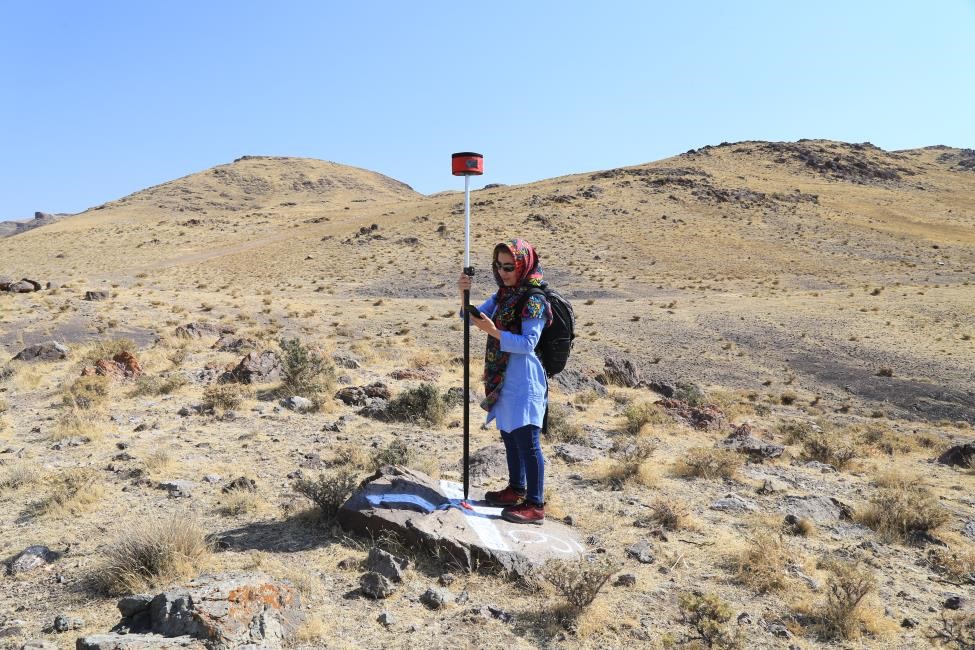
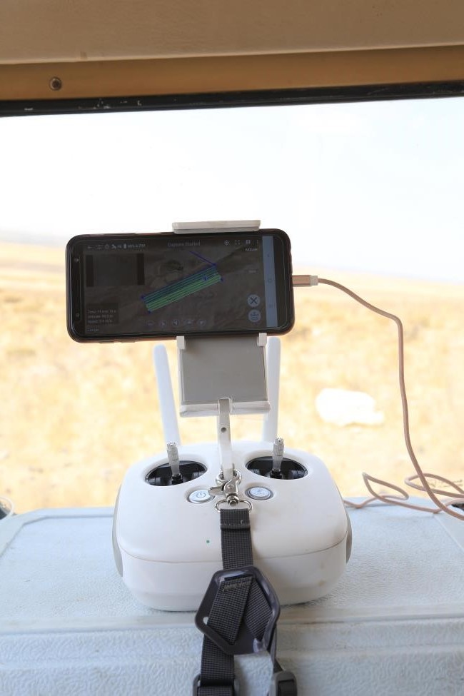
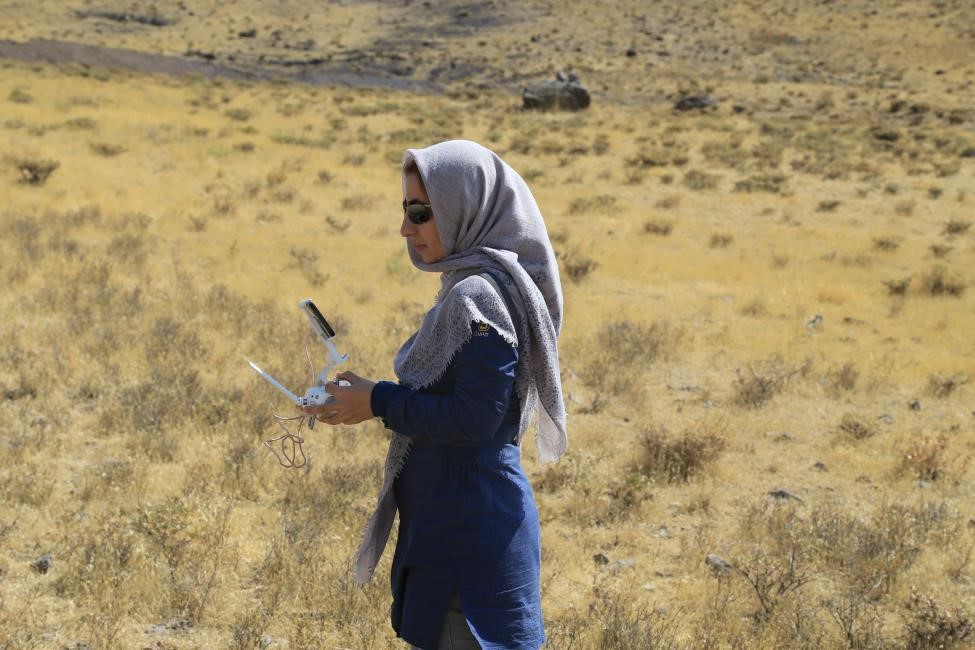
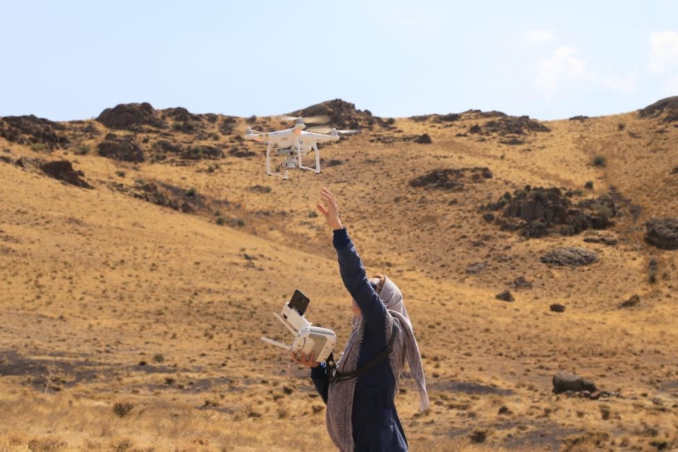
  • Drone-based image producing and processing
  • Hazard risk assessment
  • Environmental Modelling using GIS
  • Health GIS
  • Numerical Methods in solving complex problems
  • GIS in urban Planing
  • WirelessGIS
  • Geostatistical
SCIENTIFIC EXPERIENCE

Since 2013

Assistant Professor
Department of Earth Sciences
Institute for Advanced Studies in Basic Sciences (IASBS)
Zanjan, Iran
Teaching Experiences:
  • GIS
  • RS
  • Principals of Cartography
  • Advance Cartography
  • Advance Software in surveying
  • Surveying
  • Photogrametery1 and 2
  • Roads surveying
  • Applications of GIS in Urban Planning
  • Applications of Computer in Urban Planning
  • Applications of Database Management Systems in Urban Planning's data
  • Artificial Intelligence, Numerical Analysis
  • Inversion of Geophysical Data
  • Advanced in Geodesy and Image processing
Projects
  • "Presentation a navigation system for loaded trucks and need assessment of this system" Iran Ministry of Roads and transportation, (This project was under the supervision of Associate Prof. Ali Alesheikh), Tehran, Iran.
  • "Investigation GIS application in Iran general census of population and housing", Statistical Center of Iran, Tehran, Iran. (This project was under the supervision of Msc.Majid Hashemi).
  • "Investigation how to link GIS and TDC (Tracking Data Communication System) with the purpose of using GIS capacity on it", Net Sazan Pishro office, Tehran, Iran.
  • "Need Assessment and Implementing of Spatial Data bases in Strategic Plans", Khajeh Nasir Toosi University of Technology, (This project was under the supervision of Associate Prof. M.S.Mesgari), Tehran, Iran.
  • "Spatial Data Infrastructure Implementation in Iran”, Khajeh Nasir Toosi University of Technology, (This project was under the supervision of Associate Prof. M.S.Mesgari), Tehran, Iran.
  • "Using fuzzy kriging method for estimating ground water pollutions" Azad University, Zanjan branch, Iran.
  • "Using Multi-Objective Evolutionary Algorithms for Solving Land Use Planning Optimization Problems" Azad University, Zanjan branch, Iran.
  • “Assessment of flood vulnerability in urban areas”, water organization of Zanjan province.
  • “Assessment of fire vulnerability in urban areas”, road and urban planing organization of Zanjan province.
  • “Assessment of flood vulnerability in urban areas, Gavazang floodway”, water organization of Zanjan province.
Publications

    ISI Journals:

  • Masoumi, Z., Mousavi, Z., Hajeb, Z. (2021). Long-term investigation of subsidence rate and its environmental effects using the InSAR technique and geospatial analyses, Geocarto International, 1-18
  • Ajorlou, N., Hollingsworth, J., Mousavi, Z, Ghods, A., Masoumi, Z. (2021). Characterizing Near‐Field Surface Deformation in the 1990 Rudbar Earthquake (Iran) Using Optical Image Correlation, Geochemistry, Geophysics, Geosystems 22 (6).
  • Maleki, J., Masoumi, Z., Hakimpour, F., Coello, Coello, CA., (2021). A spatial land-use planning support system based on game theory, Land Use Policy, 99, 105013.
  • Babaee, S., Mousavi, Z., Masoumi, Z., Malekshah, MH., Roostaei, M., Aflaki, M. (2020). Land subsidence from interferometric SAR and groundwater patterns in the Qazvin plain, Iran,
  • Saatsaz, M., Mojallal, H., Monsef, I., Masoumi, Z. (2019). A multi-method approach to reevaluate the suitability of an old active dumpsite: an application in the Abhar Plain, Iran, Journal of Material Cycles and Waste Management, 1-26.
  • Masoumi, Z., Genderen, J van, Maleki J. (2019). Fire Risk Assessment in Dense Urban Areas Using Information Fusion Techniques, ISPRS International Journal of Geo-Information 8 (12), 579.
  • Masoumi, Z., Rezaei, A., Maleki, J. (2019). Improvement of water table interpolation and groundwater storage volume using fuzzy computations, Environmental monitoring and assessment 191 (6), 401.
  • Masoumi, Z., Coello Coello, C.A., Mansourian, A. (2019). Dynamic urban land-use change management using multi-objective evolutionary algorithms, Soft Computing, 1-22.
  • Masoumi, Z. Rezaei, R., Maleki, J. (2019). Improvement of water table interpolation and groundwater storage volume using fuzzy computations, Environmental monitoring and assessment 191 (6), 401.
  • Masoumi, Z., Genderen, JV, Niaraki, AS., An improved Ant Colony Optimization based algorithm for User-Centric Multi-Objective Path Planning for Ubiquitous environments (2019), Geocarto International, 1-19.
  • Masoumi, Z., van Genderen, J. Mesgari, M.S. (2018). Modelling and predicting the spatial dispersion of skin cancer considering environmental and socio-economic factors using a Digital Earth approach, International journal of Digital Earth. In publishing line.
  • Maleki, J., Hakimpur, F., Masoumi, Z., (2017). A Parcel-Level Model for Ranking and Allocating Urban Land-Uses, ISPRS International Journal of Geo-Information. 6 (9), 273.
  • Masoumi, Z., Maleki, J., Mesgari, M. S., & Mansourian, A. (2017). Using an Evolutionary Algorithm in Multiobjective Geographic Analysis for Land Use Allocation and Decision Supporting. Geographical Analysis, 49(1), 58-83.
  • Masoumi, Z., Mesgari, M. S., & Hamrah, M. (2013). Allocation of urban land uses by Multi-Objective Particle Swarm Optimization algorithm. International Journal of Geographical Information Science, 27(3), 542-566.
  • Masoumi, Z., Mesgari, M. S., & Menhaj, M. B. (2011). Modeling uncertainties in sodium spatial dispersion using a computational intelligence-based kriging method. Computers & geosciences, 37(10), 1545-1554.
  • Mesgari, M. S., & Masoomi, Z. (2008). GIS applications in public health as a decision making support system and it’s limitation in Iran. World Appl Sci J, 3, 73-7.

Journals in Persian:

  • Shabani, M., Rezaee, A., Masoumi, Z. (2020). Assessment of groundwater potential in the Zanjanrood catchment area using spatial analysis and geoelectrical investigations, journal of Geoscience, 29 (116), 287-294.
  • Hajeb, Z., Mousavi, Z., Masoumi, Z. (2020). Investigation of Qom plain subsidence using synthetic aperture radar Interferometry and aquifer hydrogeological characterization, journal of Geoscience, 29 (11400969), 251-258
  • J., Hakimpour, F., Masoumi, Z. (2019). Urban Land-Use Allocation By A Cell-based Multi-Objective Optimization Algorithm, Journal of geo-Information technology, 6(4): 163-186.
  • Hakimi, B., Masoumi, Z., Ghods, A., and Etemad-Saeed, N. (2019). Microtremor HVSR Study of Site Effects in Zanjan City (Iran), Journal of Geophysics, 12(4): 115-139.
  • Masoumi, Z., Amiraslani, M., Rezaee, A.(2018). Urban Land use allocation using MCDMs and GIS, Case study: Znajan City, Journal of remote sensing and gis. 9(4): 37-58.
  • Maleki, J., Hakimpur, F., Masoumi, Z., (2018). Ranking and Determining Change-Prone Urban Land-Uses by Fuzzy Multi-Criteria Decision Analysis, Journal of Geomatics Science and Technology. 7 (3), 39-55.
  • Maleki, J., Hakimpur, F., Masoumi, Z., (2018). Urban Land-Use Allocation by A Grid-Based Multi-Objective Optimization Algorithm, Journal of Geospatial Information Technology, Under Publication.
  • Masoumi, Z. and Mesgari, M.S. (2018). Multi-Objective land use planning and modeling its change using MOEA/D algorithm, Journal of Geospatial Information Technology, Under Publication.
  • J., Hakimpour, F., Masoumi, Z. (2017). A Parcel-Level Model for Ranking and Allocating Urban Land-Uses, International Journal of Geoinformation, Vol 6, Issue 273, pp. 3-22.
  • Masoumi, Z., Mesgari, M. S., & Mansourian, A. (2011). Solving industrial estates allocation problem using multi-objective optimization algorithms. Ecology, Environment and Conservation, 17(3), 503-510.
  • Mesgari, M. S., & Masoomi, Z. (2006). Detection of Lung cancer clusters in Iran using GIS and statistical analyses” Published in International journal of Geoinformatics, 2006.
  • Masoomi, Z. & Mesgari, M. S., (2010). Simulation of Skin Cancer Spatial Dispersion Using Geo-Statistical Analyses” Published in Journal of Civil Engineering Infrastructures.
  • Masoomi, Z. & Mesgari, M. S., (2011). An investigation of the multi-objective evolutionary optimization algorithms in land use planning studies: industrial units site selection” Published in Iranian Journal of Remote Sensing and GIS.
  • Masoomi, Z. & Mesgari, M. S., (2011). Designing and Using a Multi-Objective Route Planning Algorithm in Intelligent Transportation Systems, Published in Transportation research Journal, 2011.
  • Masoomi, Z. & Mesgari, M. S., Menhaj, M.B. (2011). Using fuzzy computation in modelling uncertainties in Kriging estimation method, Case study: Estimation of sodium spatial dispersion in Zanjan aquifer” Published in Amirkabir journal of Science and Technology.
  • Masoomi, Z. & Mesgari, M. S. (2012). Developing a spatial micro-simulation model for optimum arrangement of land use” In Publication process in Iranian Journal of Remote Sensing and GIS.
  • Masoumi, Z. and Mesgari, M.S. (2015). Spatial modeling of urban land use change using NSGA-II algorithm and clustering of the Pareto-front for urban dynamic plans, Journal of Geomatics Science and Technology. 5 (1), 139-157.
  • Masoumi, Z. and Mesgari, M.S. (2015). Developing a spatial micro-simulation model for optimum arrangement of land use based on Multi-Objective Particle Swarm Optimization algorithm., Journal of remote sensing and gis, 7(1): 59-79.

Conferences:

  • Masoumi, Z., van Genderen, J.L., Maleki, J. (2019). Flood vulnerability calculation in urban areas using High-Resolution Digital Earth data and model, Accepted for poster presentation in 11th International Symposium on Digital Earth (ISDE 11), on 24 – 27 September 2019 in Florence, Italy.
  • Abedi, F. Masoumi, Z., Shabanian, E. Salvi, S., ., van Genderen, J.L., Earthquake risk assesment using High-Resolution sattellite images, Accepted for poster presentation in 11th International Symposium on Digital Earth (ISDE 11), on 24 – 27 September 2019 in Florence, Italy.
  • Masoumi, Z., van Genderen, J.L. (2019) Investigation of Sustainable Urban Development Direction Using Geographic Information Systems (Case Study: Zanjan City), Accepted for poster presentation in ISPRS geospatial week, on 10 - 14 June in University of Twinte, Netherlands.
  • Ebrahimi, A., Pahlevani, P., Masoumi, Z., (2017). Comparison of Fuzzy K-means and K-means clustering methods in the optimization of energy consumption in vehicle sensor networks, 2 nd international conference in Geospatial Information Technology, 18 Jan, Kahejh Nsir Toosi University of Technology, Tehran, Iran.
  • Babaee, S., Mousavi, Z., Masoumi, Z., (2017). Contribution of Synthetic Aperture Radar to monitor the land subsidence in Qazvin plain, Iran, Fringe 2017, 5-9 June, Aalto University, Helsinki, Finland.
  • Hajeb, z., Mousavi, Z., Masoumi, Z., Rezaee, A. (2017). Detecting land subsidence of Qom plain (Central Iran) with SAR interferometry and investigating its hazards, Fringe 2017, 5-9 June, Aalto University, Helsinki, Finland.
  • Babaee, S., Mousavi, Z., Masoumi, Z., Rostaei, M. (2017). Land subsidence monitoring in Qazvin plain using Synthetic Aperture Radar interferometry, Triger international conference, 6-7 May, Tehran, Iran.
  • Ebrahimi, A., Pahlevani, P., Masoumi, Z., (2017). Optimizing Energy Consumption in Vehicular Sensor Networks Using Clustering Based on FCM and Fuzzy Subtractive Algorithms, Tehran's Joint ISPRS International Conferences of GI Research, SMPR and EOEC 2017, 7–10 October 2017, Tehran, Iran.
  • Rezaei, A., Karimi, H., Masoumi, Z. (2016). Destruction effect of Gachsaran Evaporate Formation on Water Quality in Kangdir Dam Catchment, Ilam, The 34 th National and 2 nd international Geosciences congress, 22-24 Feb, Tehran, Iran.
  • Masoumi, Z., Rezaei, A., (2016). Theissen Polygon or Interpolation techniques: Groundwater unit hydrograph, 22-24 Feb, The 34 th National and 2 nd international Geosciences congress.
  • Ahmadi, N., Mousavi, Z., Masoumi, Z. 2016. Khoramdarreh Subsidence Estimation Using Persistent Scatterer Interferometry, 22-24 Feb, The 34 th National and 2 nd international Geosciences congress.
  • Rezaei, A., and Masoumi, Z., (2015). Qualifying the Zanjan cities’ groundwater using CWQI and GIS, First congress on urban management, 18-19 Nov, Tehran, Iran.
  • Ahmadi, N., Mousavi, Z., Masoumi, Z. (2015). Khoramdarreh Subsidence Estimation Using SAR Interferometry and Investigation its Risks, 17 th International Geophysic conference, 11-13 May, Tehran, Iran.
  • Rezaei, A., and Masoumi, Z., (2016). Investigation of urban development effect on underground water resource in Zanjan city. 3 rd International Urban management congress, 11-12 May, Tehran, Iran.
  • Masoumi, Z., Rezaei, A., Maleki, J. (2016), ESTIMATION OF REPRESENTATIVE GROUNDWATER HYDROGRAPH USING FUZZY CALCULATIONS AND KRIGING ALGORITHM, International Conference on Mathematics of Fuzziness, 27-29 April, IASBS, Zanjan, Iran.
  • Masoumi, Z., Mesgari, M. (2008). GIS applications in Public Health as a decision making support system and it’s limitation in Iran Accepted for poster presentation in the GIS & ISPRS conference, Tehran, Iran, January 2008.
  • Masoumi, Z., Mesgari, M. (2006). Finding spatial cluster of diseases with the purpose of disaster management Accepted for poster presentation in the GIS & disaster management conference, Tehran, Iran, May 2006.
  • Masoumi, Z., Mesgari, M. (2006). Detection of spatial epidemiology of Leukemia in Iran using GIS" Accepted for poster presentation in Mapmiddleeast International conference, Dubai, Emirate, April 2006.
  • Masoumi, Z., Mesgari, M. (2006). Prediction of skin cancer epidemiology for decision making using geostatistical analyses, Accepted for oral presentation in ASPRS International Prospecting for Geospatial Information Integration conference, Reno Neveda, USA, May 2006.
  • Masoumi, Z., Mesgari, M. (2006). Detection of stomach cancer clusters in Iran using GIS and statistical analyses, Accepted for oral presentation in MapIndia International conference, New Delhi, India, December 2006.
  • Masoumi, Z., Mesgari, M. (2006). Development of a geo-statistical model for skin cancer, Accepted for oral presentation in first International Symposium on Health GIS, Bangkok, Thailand, December 2006.
  • Masoumi, Z., Mesgari, M. (2006). Detection of Lung cancer clusters in Iran using GIS and statistical analyses, Accepted for oral presentation in first International Symposium on Health GIS, Bangkok, Thailand, December 2006.
  • Masoumi, Z., Mesgari, M. (2005). Using spatial and statistical analyses in finding spatial clusters of diseases (case study: Finding spatial clusters of stomach cancer in Iran)", Accepted for oral presentation in Geomatics 84 conference of National Cartography Center of Iran, Tehran, Iran, May 2005.
  • Alesheikh, A. Masoumi, Z., Dodge, S. (2004). Designing and implementing GIS, suitable for Iran roads", Accepted for oral presentation in Geomatics 83 conference of National Cartography Center of Iran, Tehran, Iran, May 2004.