IASBS
Centers and Labs
Department of Earth Sciences
Department of Earth Sciences
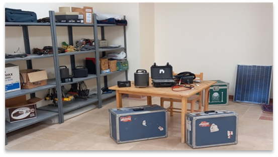
1. Geophysical Instrument Pool
2. Hydrochemistry Lab
3. Petrography Lab
4. Rock Sample Preparation Lab
5. Dating Preparation Lab
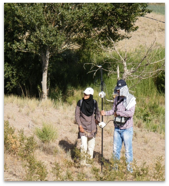
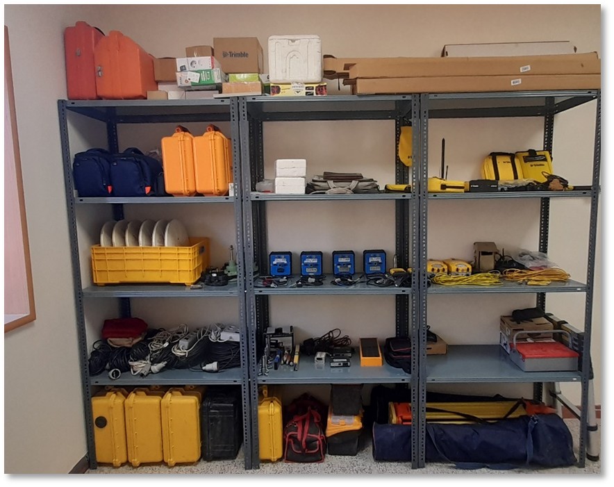
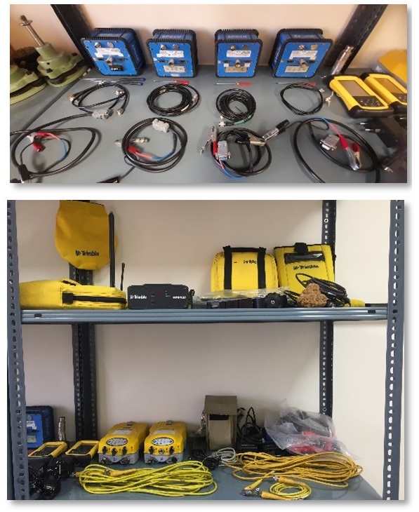
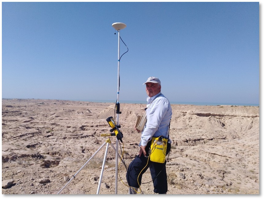
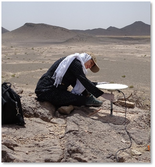
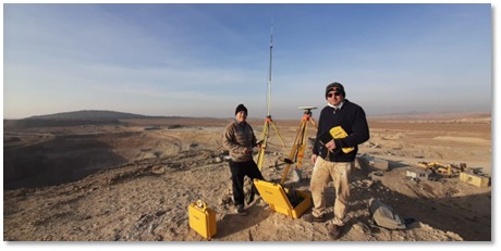
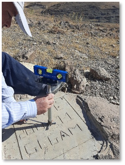
6. Surveying and Geodesy Lab
7. Sedimentology Lab
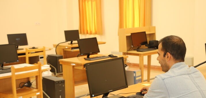
8. Geo-spatial Information and Optical Image Processing Lab
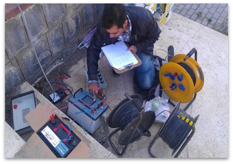
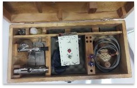
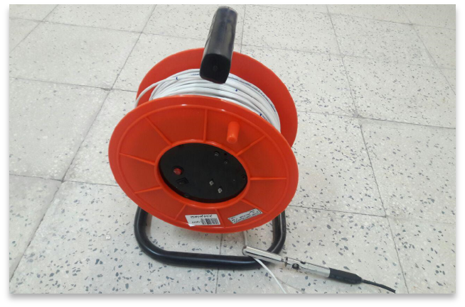
A number of hardware and software facilities are at the service of the educational and research activities of the Department. The Department is equipped with the following geophysical instruments:

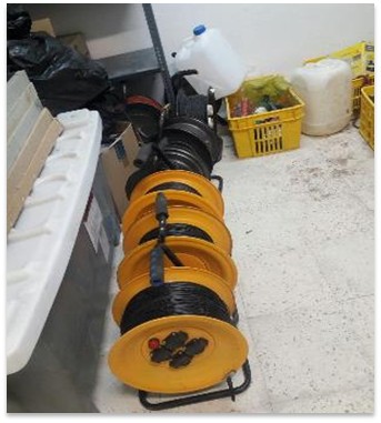
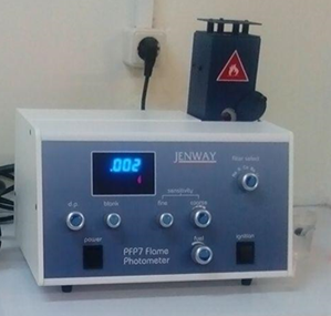
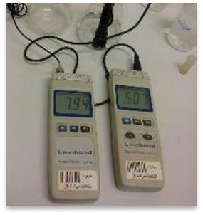
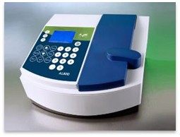
The Hydrochemistry Laboratory houses the following instruments: a PFP7 flame photometer (Jenway Company, UK), an AL800 spectrophotometer (Aqualytic Company, Germany), a digital titrator (Hirschmann Solarus, Germany), SensoDirect pH110, SensoDirect Con110, and SensoDirect Salt110 (Lovibond Company), and a Water Level Sounder(model SLDI-150, Simab Company). These instruments are used for the analysis of physicochemical parameters, as well as for measuring water level depth at monitoring wells and flow rates from springs and rivers. The laboratory is available for training courses, internal projects, and collaborative research.
For more information, contact Dr Abolfazl Rezaei at: (+98) 24 3315-3779.
Equipment Available at the Hydrochemistry Lab
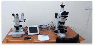
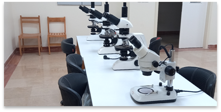
The Petrography Laboratory provides services for the microscopic investigation of rock thin sections and polished samples. Biological, mineralogical, and textural characteristics of thin sections and polished sections can be analysed using established techniques and standards. The laboratory is equipped with:
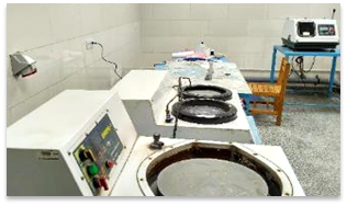
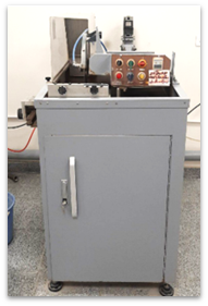
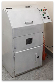
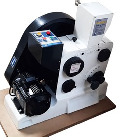
The Rock Sample Preparation Laboratory has facilities for a range of sample impregnation, cutting, grinding, and polishing services on geological samples collected in the field or during routine core analysis (RCAL), for the preparation of thin and polished sections intended for petrographic studies in academic or industrial research.
The laboratory furthermore offers the following services:
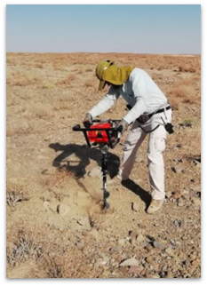
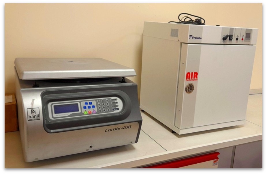
The Cosmic Ray Exposure Dating and Heavy Metal Separation Laboratory (CRHM)
is equipped for the chemical preparation of rock samples for radiometric dating processes, including the preparation of
³⁶Cl targets for Cosmic Ray Exposure (CRE) dating and heavy metal separation (HMS) for U–Pb zircon geochronology.
Contacts:
CRE Dating sector: Dr Esmaeil Shabanian – shabanian@iasbs.ac.ir, +98 24 3315 3786
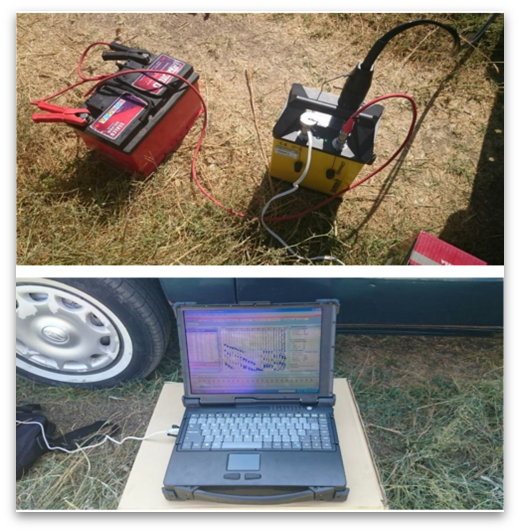
Part 1: Cosmic Ray Exposure Dating
Satellite positioning is the main activity of this laboratory, which is equipped with GPS receivers of different precisions:
At the sedimentology laboratory, the areas of activity include:
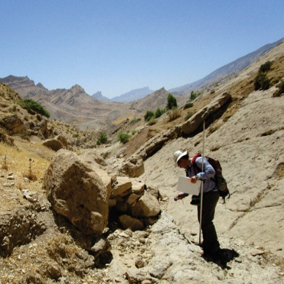
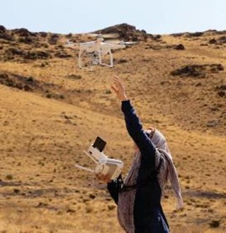
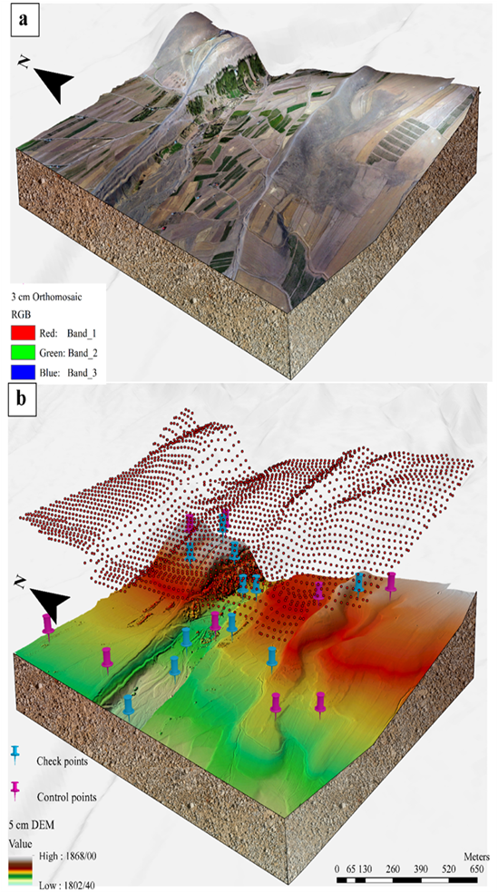
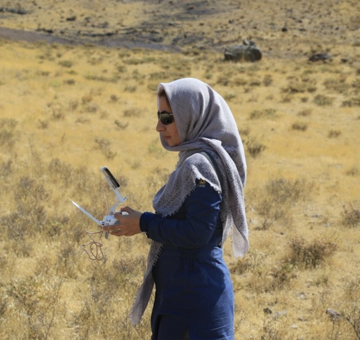
The hardware and facilities available in the Geo-spatial Laboratory include a high-performance processor computer and a Phantom 4 Pro V2 UAV. The camera resolution of this device for aerial photography is about 20 megapixels, which is highly accurate for tectonic studies. The camera can record professional images in 4K quality at 60 frames per second. Image and video processing is fast, and the camera is equipped with a powerful lens with a bit rate of 100 Mbps. The lens has an aperture of f/2.8, which allows more light to enter the back of the lens, resulting in high-clarity images. The processor computer follows Metashape recommendations and is equipped with approximately 100 GB of RAM, a 9-core CPU, and a GTX 1080 graphics card with 11 GB of memory, which enables the processing of images captured by UAVs. The laboratory’s hardware can be used to produce UAV-based maps for large-scale tectonic purposes.
The UAV and associated facilities in the Geo-spatial Information and Optical Image Processing Laboratory provide the capability for UAV-based mapping in industrial, mining, and other applications.
Moreover, the processor computer is also used for spatial information processing tasks, especially for artificial intelligence computations in the Geo-spatial Information System (GIS). Proposed algorithms in the field of artificial intelligence typically require high-performance computing systems to operate.
Contact: Dr Zohreh Masoumi at: z.masoumi@iasbs.ac.ir, (+98) 24 3315 3819.
Developed by the IASBS Computer Centre